Resia
Resia: a hidden gem among the mountains of Friuli-Venezia Giulia
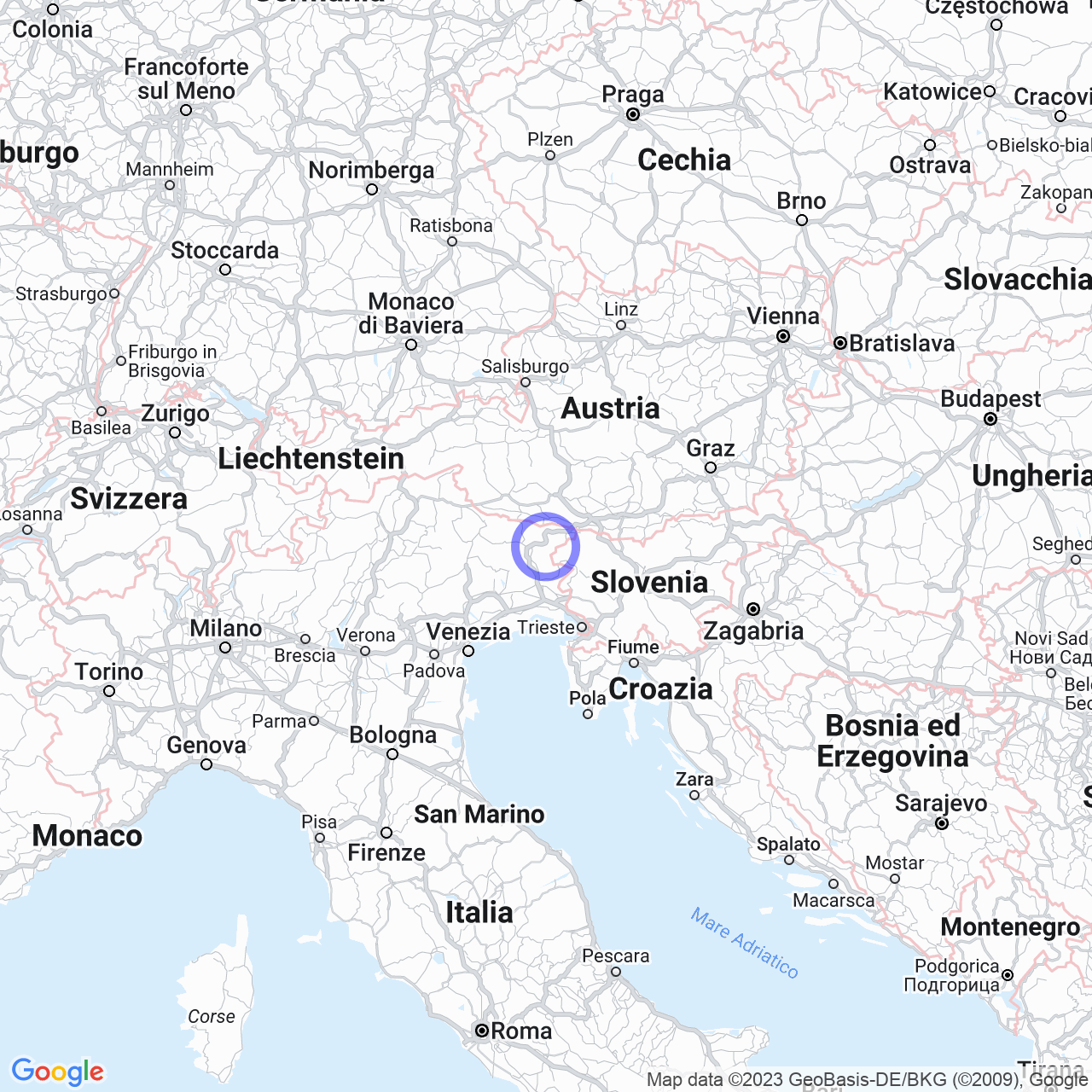
Resia is a municipality located in the northeastern part of Friuli-Venezia Giulia region. Within the municipality lies a valley called Val Resia, which stretches for 20 km and can be visited to appreciate its natural and cultural landscape.
Physical Geography
The valley is nestled in a green basin and surrounded by the snow-capped peaks of Mount Canin, which represents the highest point of the border area between Italy and Slovenia. The valley is divided into 5 main fractions and other hamlets. Also located in Val Resia is the meteorological station.
To reach Val Resia, one can follow the SS13 towards Tarvisio or arrive at the Carnia-Tolmezzo exit of the A23 highway, towards Tarvisio, and then follow the junction for Val Resia.

History
The origins of Resia date back to the 7th century, when Slavic populations arrived in Italy. These populations abandoned their nomadic lifestyle and settled in the Resia area, isolated between the Musi mountains and the Canin massif. The culture of the area began to develop and today the local language, Resian, is recognized by UNESCO. The community of Resia, largely grouped within the fractions, played a certain historical role as a defense of the Carnizza and Guarda saddles.
In 1976, the municipality of Resia suffered damage from the Friuli earthquake, which caused huge collapses and damages.
Honors
The Municipality of Resia has received various recognitions and honors over the years.
Monuments and Places of Interest
Among the most important monuments of Resia are the churches of Santa Maria Assunta in Prato, San Vito in the Oseacco fraction, and San Carlo Borromeo in the Stolvizza fraction.
Resia is a municipality to discover: its cultural and natural beauty is definitely worth a visit.
