Portopalo di Capo Passero
Portopalo di Capo Passero: history and geography of the southernmost municipality in Sicily
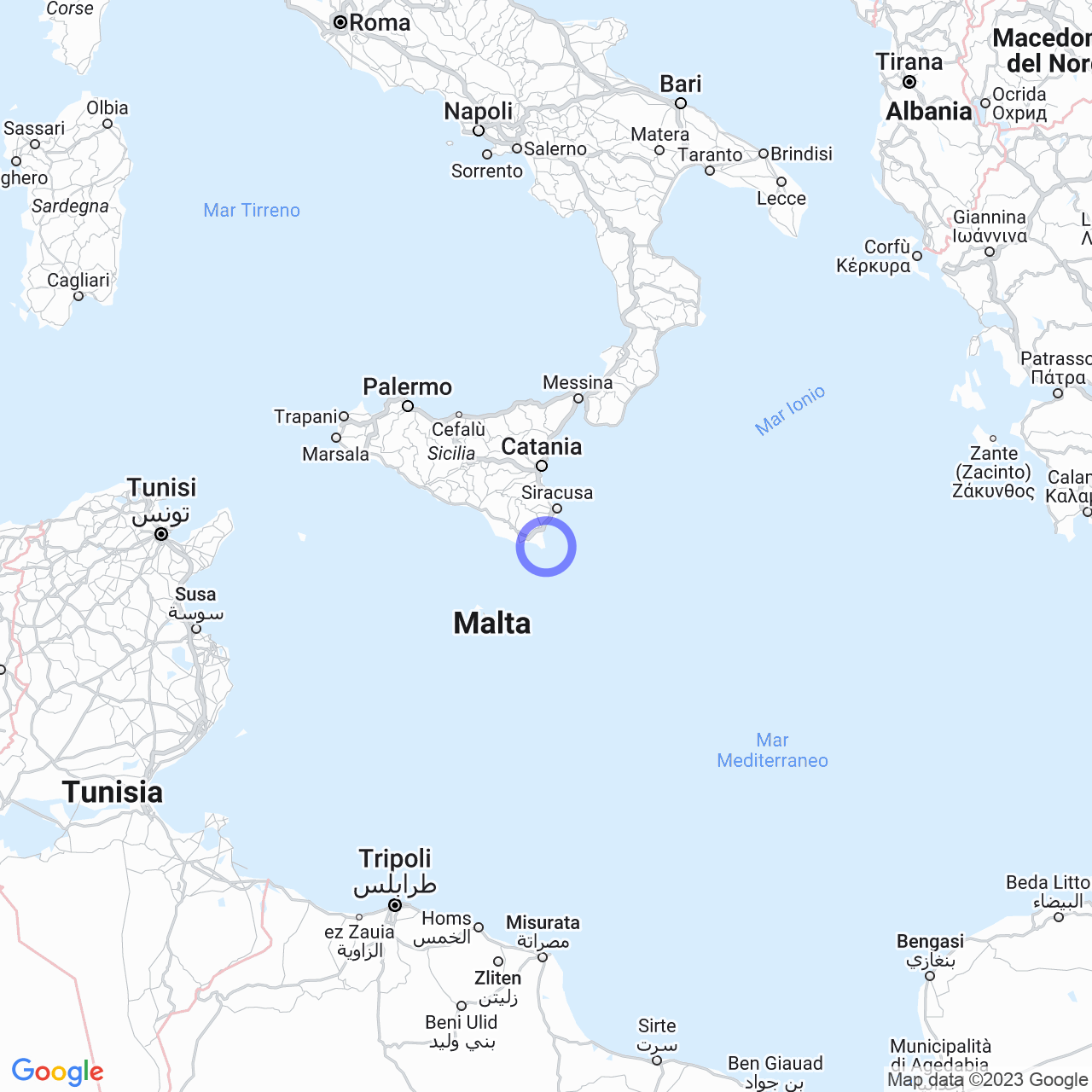
If you are a travel enthusiast and looking for new destinations to discover, I recommend visiting Portopalo di Capo Passero. This Sicilian municipality, located in the southernmost part of the island, has a lot to offer in terms of history, landscapes, and traditions.
Physical geography
The territory of Portopalo di Capo Passero is characterized by a unique geographical position. Although it is located below the parallel of Tunis, it is not the southernmost municipality in Italy, a title that belongs to Lampedusa and Linosa. The town, which is part of the free municipal consortium of Syracuse, overlooks the two seas that meet here, namely the Ionian Sea and the Sicilian Sea.
One of its main attractions are the islands of Capo Passero and delle Correnti. The first was once a peninsula, while the second becomes an island during low tide. In this predominantly agricultural and maritime center, you can still admire the fishermen's houses, testimony to an activity that has always played a fundamental role in the city's economy.

Climate and geology
The climate of Portopalo is Mediterranean, with hot summers and mild and rainy winters. The presence of the sea moderates the temperatures during the hottest seasons. From a geological point of view, the territory of Portopalo and the surrounding areas is of volcanic nature and hosts the oldest vulcanites and lava flows of the Iblei Mountains and Sicily. Here began the geological and volcanological history of Sicily, which culminates with Mount Etna, the highest and most active volcano in Europe.
History
The territory of Portopalo di Capo Passero was inhabited since ancient times. The village, initially called "Capo Pachino", was already present in the eighteenth century when the founder of Portopalo, Don Gaetano Deodato Moncada, became interested in its development. In 1792, he built about 100 houses around the tuna fishery at his expense.
Before 1812, Portopalo was a suburb of Noto and subsequently became a hamlet of Pachino. In 1975, thanks to the tenacity of its inhabitants, Portopalo di Capo Passero obtained autonomy as a municipality.
Attractions and activities
The tuna fishery
One of the main attractions of Portopalo is the tuna fishery, which represents one of the town's historical activities. It is an ancient structure composed of a series of docks, towers, and warehouses, which was used for tuna fishing. Today, the Portopalo tuna fishery has been restored and hosts a series of events and exhibitions.
Beaches
In the municipal territory of Portopalo, there are numerous beaches, famous for their fine sand and crystal-clear water. Among the most beautiful are the beaches of Due Sorelle, Carratois, and Isola delle Correnti.
Local cuisine
The cuisine of Portopalo is a mix of Mediterranean flavors, with dishes based on fish, vegetables, and local agricultural products. Among the most famous dishes are spaghetti with bottarga, octopus alla pignata, and caponata with eggplant.
Fishing tourism
One of the most original activities you can do in Portopalo is fishing tourism. It is a sort of boat trip, during which you can learn how to fish and cook freshly caught fish.
The Italian Navy
At the lighthouse of the Italian Navy, there is the Cozzo Spadaro meteorological station, officially recognized by the World Meteorological Organization and managed by the meteorological service of the Italian Air Force.
Conclusions
In conclusion, if you are looking for offbeat places, Portopalo di Capo Passero is an ideal destination. Its unique position, history, culture, and natural beauty are just some of the reasons why you should visit this Sicilian municipality.
