Pisticci
Welcome to Pisticci: an overview of the city
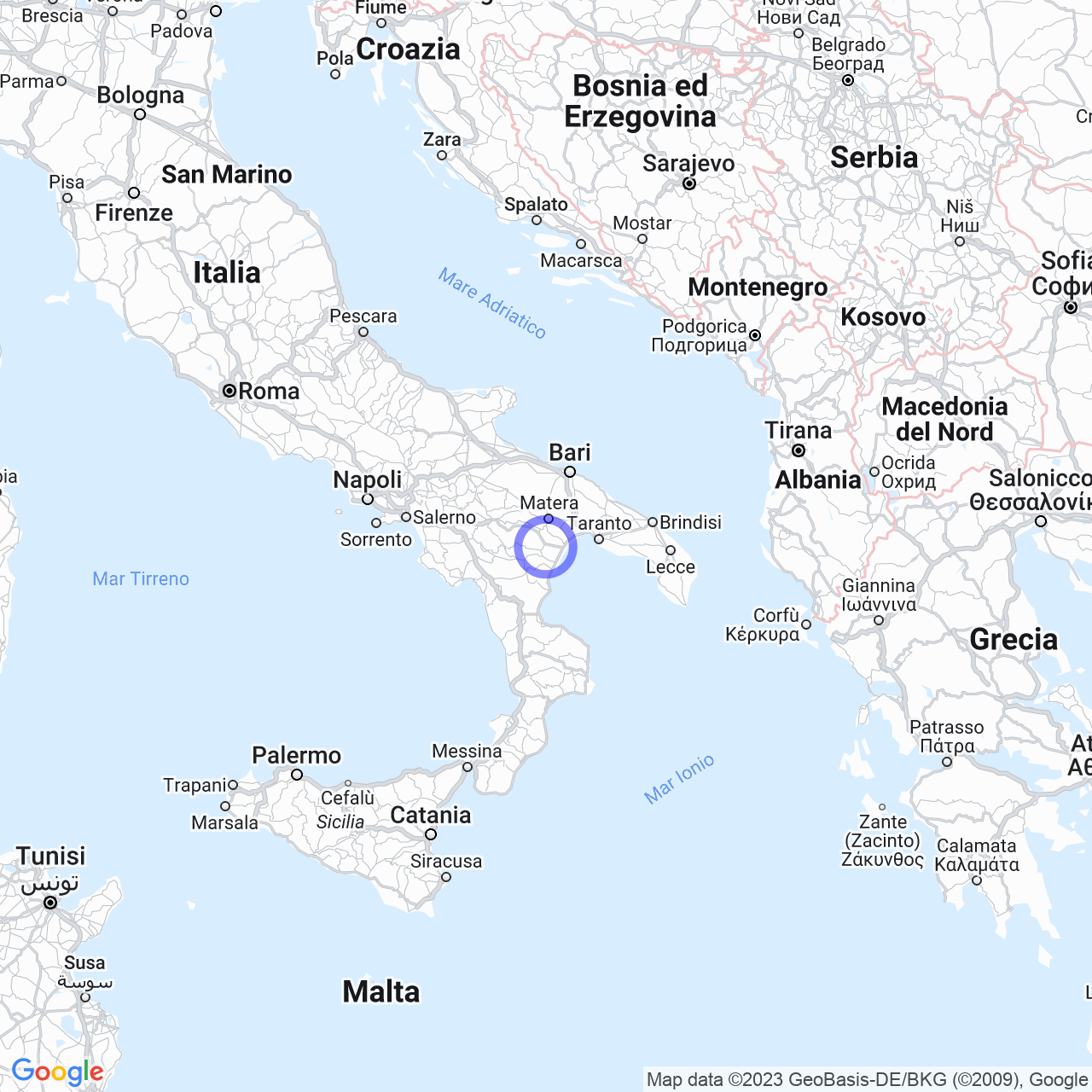
Hello friends, today I want to tell you about the beautiful city of Pisticci. If you have never visited it, I invite you to do so as soon as possible! It is a municipality located in the province of Matera, in Basilicata, with a population of 16,802. With an area of 233.67 km², it is among the top 100 Italian municipalities in terms of extension. The center is located at an altitude of 364 meters above sea level and extends between the Basento River to the east and the Cavone River to the west. Consequently, the territory of Pisticci is bordered by the municipalities of Bernalda, Montalbano Jonico, Craco, Ferrandina, Pomarico, and Scanzano Jonico.
The physical geography of Pisticci
Pisticci is composed of several hamlets and villages, including Casinello, Centro Agricolo, Marconia, Pisticci Scalo, Tinchi, and Marina di Pisticci. The historic center is located on three hills: Serra Cipolla, San Francesco, and Monte Corno. This part of the city is characterized by clayey slopes, which create deep grooves called calanchi. Unfortunately, the nature of the terrain has often led to phenomena of hydrogeological instability and landslides. On the other hand, the eastern area of the territory slopes gently towards the Metapontina plain and the 8 km of coastline of the Ionian Sea. The last characteristic I want to highlight concerns the shape of the inhabited center, which develops in an S shape, creating a sort of natural amphitheater. For this reason, Pisticci is called "the balcony on the Ionian Sea" or "the amphitheater on the Ionian Sea".

The climate of Pisticci
The closest meteorological station to Pisticci is located in Montalbano Jonico. If we consider the average data of the thirty-year period 1961-1990, the average temperature in January is around +7.4 °C. On the contrary, the average temperature in August is +25.5 °C. As for the climatic classification of Pisticci, we can state that it is a climatic zone D, with a total of 1615 degree days.
Landslides in Pisticci
Unfortunately, the history of Pisticci is closely linked to landslides that have influenced the topography and toponymy of the city. The main cause of these phenomena is the clayey nature of the ground on which the inhabited center stands. This type of terrain tends to be predisposed to events of this type, which have also affected other neighboring towns with the same geological features. However, in Pisticci, the main cause of landslides seems to be the stream called "La Salsa". This small brackish water stream flows under the districts of the inhabited center most affected by landslides and seems to destabilize the ground. The permeable marl sediment on the surface resting on an impermeable clayey layer tends to "slide" the upper layer in case of heavy rainfall. Where do these phenomena originate? In recent years, deforestation of the hill around the city has worsened an already critical situation.
Conclusions
As you have seen, the city of Pisticci has a very interesting geography and a pleasant climate. However, the problems caused by landslides are still a constant concern for the inhabitants of this beautiful town. If you find yourself visiting the area, do not forget to stop in Pisticci, where you can admire the breathtaking panorama from the "amphitheater on the Ionian Sea".
