Bardonecchia
Welcome to Bardonecchia: a mountain town
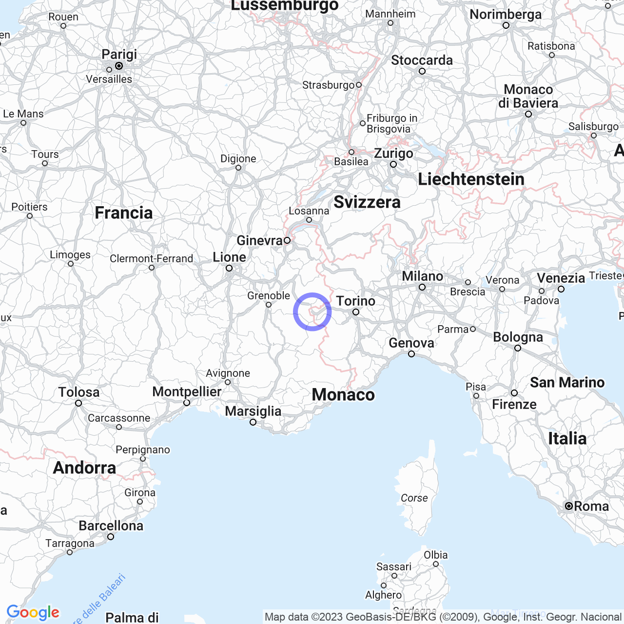
Welcome to Bardonecchia, the westernmost town in Italy and in the region of Piedmont! This welcoming town is situated about 85 kilometers west of Turin at an altitude of 1,312 meters above sea level, and is an important center for winter sports in the high Susa Valley.
The geography and topography of Bardonecchia
The Bardonecchia basin is surrounded by many mountains, several of which exceed 3,000 meters. A wide variety of Bardonecchia's mountains have been rated as having ski or mountaineering interest due to the presence of ski lifts, including Monte Jafferau and Colomion. The "Dolomiti di Valle Stretta," Rognosa d'Etiache, and Pierre Menue are just some of the mountains of the Cozie Alps that can be found here. Other mountains such as Monte Thabor, Punta Nera, and Monte Frejus are suitable for hiking or ski-mountaineering. The territory of Bardonecchia is crossed by four large valleys: Valle Stretta, Valle della Rho, Vallone del Frejus, and Vallone di Rochemolles.

Orography
The Bardonecchia basin is surrounded by many mountains that exceed 3,000 meters in altitude. The peaks of greatest interest in Bardonecchia include Monte Jafferau and Colomion, which offer ski facilities for snow enthusiasts. For the more adventurous, there are also mountains like Rognosa d'Etiache and Pierre Menue, which are the highest mountains in the northern Cozie Alps region. Monte Thabor, Punta Nera, and Monte Frejus, instead, are easily accessible through hiking or ski-mountaineering paths.
Points of hydrographic interest in Bardonecchia
Bardonecchia is also crossed by several Alpine streams that flow without ever running dry. The municipal territory is crossed by two road bridges that connect the state road (and the A32 motorway) to the town, not far from the Bardonecchia river. There are also other important streams, such as the Rochemolles stream, whose main branch rises below the Sommeiller peak and forms the Rochemolles artificial basin. The Frejus stream, also known as "Rio Merdovine," enters the village near Borgo Vecchio and crosses the town first towards the NS direction and then turns east.
Mountain passes
In the middle or upper part of these valleys are mountain passes that connect the Bardonecchia basin to France. The Colle della Scala is the road that connects the city to abroad, while the passes of Colle della Rho, Colle del Frejus, and Colle d'Etiache are equipped only with a path. The municipal territory of Bardonecchia is crossed by hiking and ski-mountaineering enthusiasts, but under the Colle del Frejus, two tunnels can be found, one for rail and one for road.
Conclusions
In summary, Bardonecchia is a mountain town with many exceptional features. The metropolitan city of Turin is only a few kilometers away, but the mountainous landscape, rich in snow and streams, represents the real attraction for winter sports enthusiasts and hikers. Come and visit Bardonecchia and discover the beauty of the Cozie Alps.
