Agerola
Welcome to Agerola: a municipality surrounded by nature
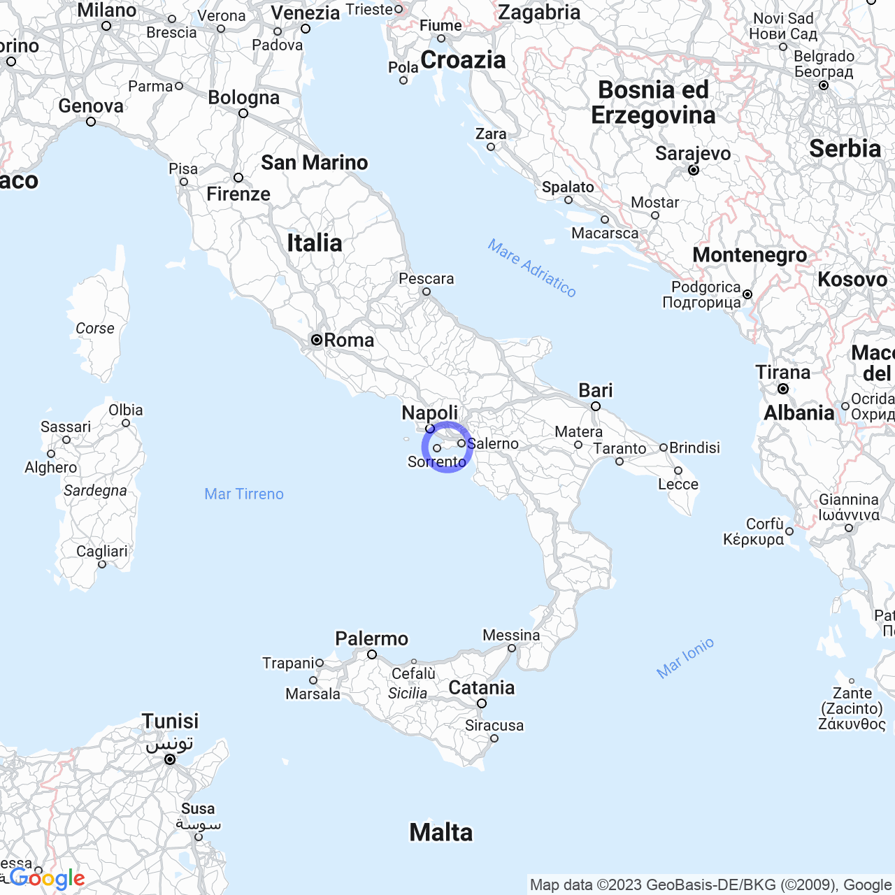
Welcome to Agerola, a municipality of 7,665 inhabitants located in a basin on the Lattari Mountains, 600 meters above sea level, in the metropolitan city of Naples, Campania. The area is divided into six fractions: San Lazzaro, Campora, Santa Maria, Pianillo, Ponte, and Bomerano, but the municipal seat is located in the fraction of Pianillo. Agerola is a place surrounded by nature, with a special proximity to the Amalfi Coast and an interesting past.
The Physical Geography of Agerola
Agerola is a very suggestive place, surrounded by the Lattari Mountains and near the Amalfi Coast. The area is characterized by the beautiful view of the sea and the hills that frame it. The municipality is located in a basin on the Lattari Mountains, 600 meters above sea level, and was once an integral part of the Amalfi Republic. This area is very beautiful because it is possible to enjoy both the view of the sea and the mountains.

The Origins of the Name Agerola
Agerola owes its name to its agricultural vocation. Some scholars trace the toponym to the Latin word "ager" = field, but there is a second hypothesis advanced by the historian Matteo Camera according to which the name may derive from the Latin word "aëreus," in the sense of "elevated place." Finally, there is also a third theory that would derive the toponym from "Jerula" = gerla, perhaps due to the basin of the plateau on which the village is located. In the Agerolese dialect, Agerola is pronounced "ajërul."
The History of Agerola
The first traces of human presence in the territory of Agerola probably date back to the early Iron Age. In Roman times, the area was rich in "rustic villas," especially in the flat part, so it is supposed that it was widely cultivated given its privileged position. Following the damage caused by the eruption of Vesuvius in 79 AD, the soil was covered with one and a half meters of pumice and a certain depopulation was recorded, although cattle farming must have remained flourishing. In the central centuries of the Middle Ages, the basin of Agerola repopulated and developed in its 5 hamlets: Campulo, Memorandum, Planillum, Ponte, and San Lazzaro, parallel to the resurgence of the Amalfi Coast and the establishment of the Amalfi Duchy. It became an integral part of the territory of Amalfi with which it shared the commercial exchanges that connected it to the entire Mediterranean, to Byzantium, and obviously to Naples. In the eighteenth century, Agerola experienced a very prosperous period and a reduction in taxes, the improvement of economic conditions, which is attested by the exponential growth of its inhabitants and the sharp decline in brigandage.
A Municipality Linked to Italy's History
Agerola has a long history that has intertwined with that of Italy itself. The municipality became part of the Kingdom of Naples, of which it followed the alternating fortunes until the Risorgimento. The sharing of the inspiring ideas of the French Revolution by the noble Agerolese residing in Naples made Agerola immediately adhere to the democratic constitution of the Parthenopean Republic, so much so that a linden tree, a symbol of freedom, was planted in the clearing in front of the Madonna di Loreto church in the fraction of Campora, which has since been replanted.
Conclusions on the Municipality of Agerola
In conclusion, Agerola is a place worth visiting. Surrounded by the Lattari Mountains and the Amalfi Coast, the area is immersed in nature and rich in a fascinating history. With its privileged position, Agerola has enjoyed an agricultural vocation that has made it an area of great interest, characterized by the beauty of the view of the sea and the mountains. The history of Agerola intertwines with that of Italy itself, and is linked to its proximity to the coast, the resurgence of the Amalfi Duchy, and its adherence to the democratic constitution of the Parthenopean Republic.
